Los Angeles braces as super rare tornado threat issued for SoCal
Southern California’s first significant storm of the season is bringing attention to an unusual possibility: brief coastal tornadoes. But heavy rainfall and flooding are also central concerns in forecasts for the October 21–22 storm.
Forecasts reported Wednesday called for widespread rain across coastal and valley communities, with some higher elevations potentially receiving around three inches. Downtown Los Angeles was projected to collect between one and one-and-a-half inches, according to reporting citing the National Weather Service. These figures are forecast amounts, rather than confirmed rainfall totals.
For areas recently affected by wildfire, intense downpours present additional problems. Rain can wash loose soil, rocks, and other debris downhill, threatening roads and nearby properties. Burn scars along the Big Sur coast were among the areas highlighted as vulnerable during this storm.
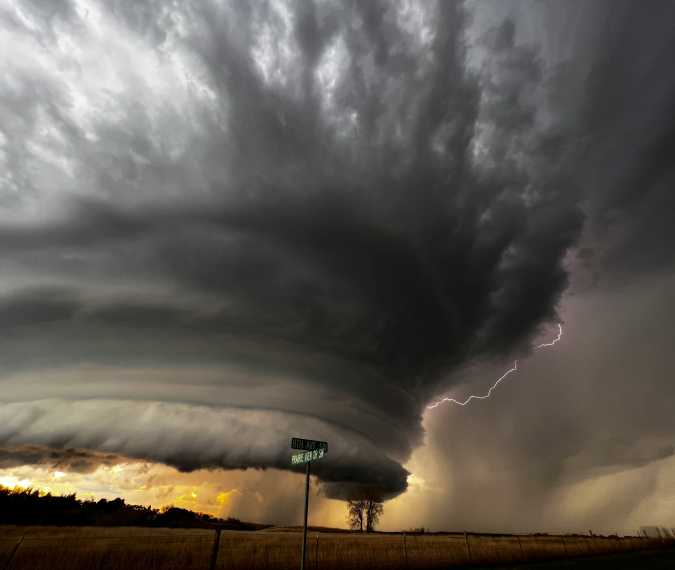
The tornado concern involves isolated thunderstorms near the shoreline. Weather reporting described a scenario in which rotating storms could produce waterspouts offshore. If one moved onto land, it could briefly cause tornado damage before weakening. The possibility was described as low and localized, rather than a prediction of widespread tornado activity.
Strong thunderstorm winds are a separate hazard. A powerful gust does not automatically become a tornado: tornado formation involves rotating air within a storm that develops into a column reaching the ground.
For residents, the practical priority is to follow updated local forecasts as the system moves through. Anyone checking conditions can consult the National Weather Service’s Los Angeles/Oxnard office for the latest local information.